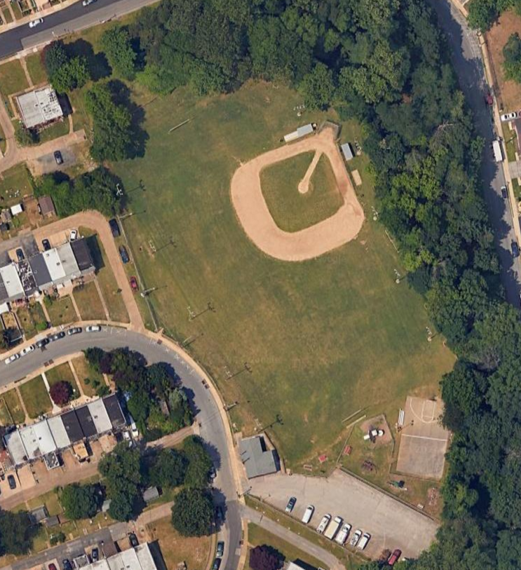
Main Map
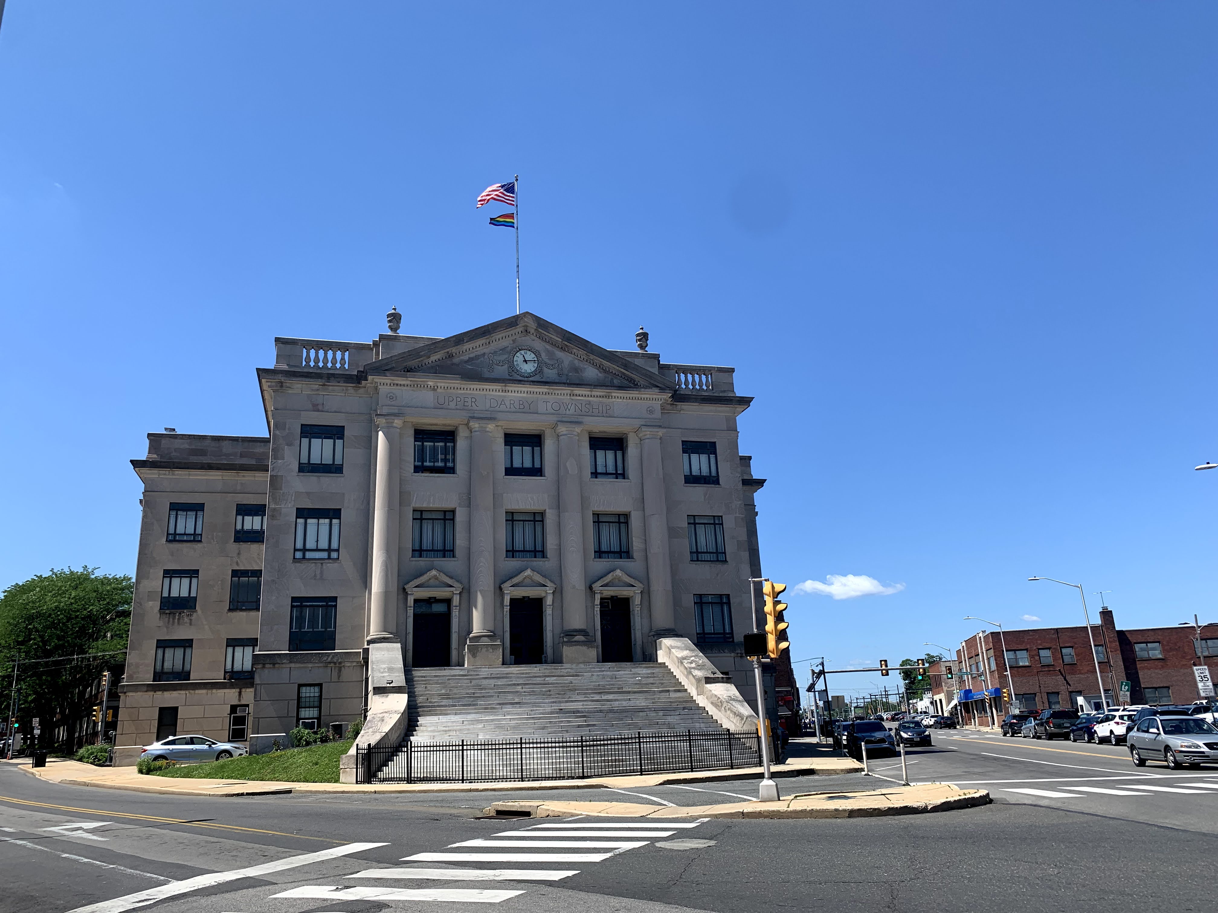
Municipal Buildings
Watkins Senior Center
View
Location
Location
326 Watkins Ave
Upper Darby,
PA
19082
Parking Lots
Parks
Beverly Hills Recreation Area
View
Location
Location
1747 Marshall Rd
Lansdowne,
PA
19050
Playground, sports fields, Open green space, restrooms
Bishop Park
View
Location
Location
Delmar Rd
Clifton Heights,
PA
19018
Playground, sports fields
Blanchard Road Playground
View
Location
Location
Blanchard Rd
Drexel Hill,
PA
19026
Open green space
Brookwood Park
View
Location
Location
Brookwood Lane
Secane,
PA
19018
Open green space, playground, creek
Cardington Recreation Area
View
Location
Location
Walnut St & Heather Rd
Upper Darby,
PA
19082
Open green space, sports field, playground
Clark Playground
View
Location
Location
351 Sloan St
Upper Darby,
PA
19082
Playground
Dermond Circle
View
Location
Location
Dermond Rd & Pontiac
Dermond Recreation Area
View
Location
Location
Old Lane & Dermond Ave
Drexel Hill,
PA
19026
Playground, Sport Fields, Basketball, Restrooms, Pavilion
Drexel Gardens Recreation Area
View
Location
Location
Bond Ave
Drexel Hill,
PA
19026
Playground, sports fields
Gillespie Park
View
Location
Location
N. Sycamore Ave
Clifton Heights,
PA
19018
Playground, Basketball, Walking Trail, Parking, Seating, Footbridge to Creek Road/Kent Park
Naylors Run Recreation Area
View
Location
Location
Garrett Road
(across from Barclay Square Shopping Center)
Upper Darby,
PA
19082
Tennis Courts, Picnic Groves, Playground, Ball Field, Restrooms, Parking Lots, Naylors Run Creek
Observatory Hill Recreation Area
View
Location
Location
101 Tobacco Road
Upper Darby,
PA
19082
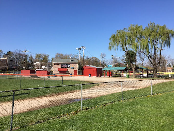
Playground, Baseball Field, Seating, Pavilion
Scullion Recreation Area
View
Location
Location
Whitehall Drive
Clifton Heights,
PA
19018
Playground, Basketball Court, Baseball Field, Football Field, Parking, Seating, Restrooms
Stonehurst Hills Recreation Area (Formerly 2nd Ward Playground)
View
Location
Location
747 Crosley Ave
Upper Darby,
PA
19082


